Auburn State Recreation Area
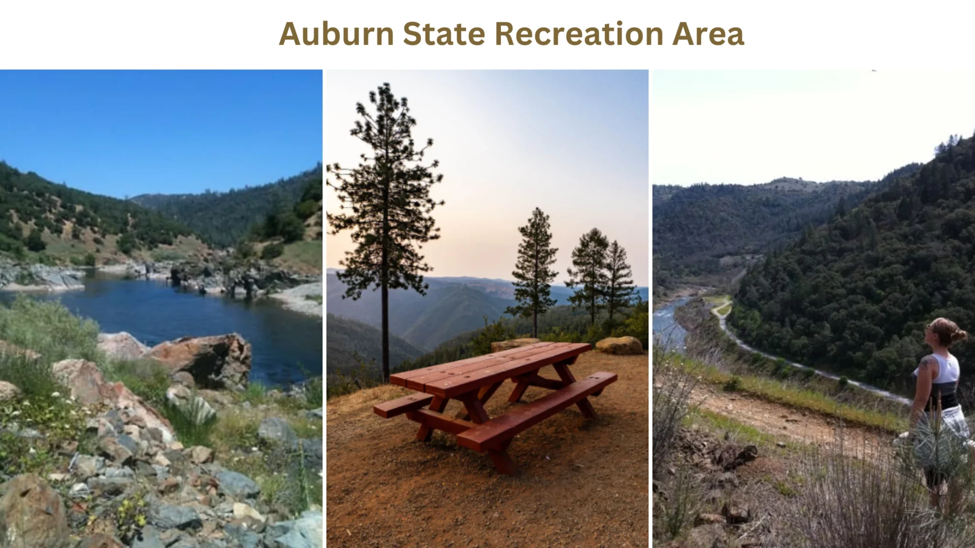
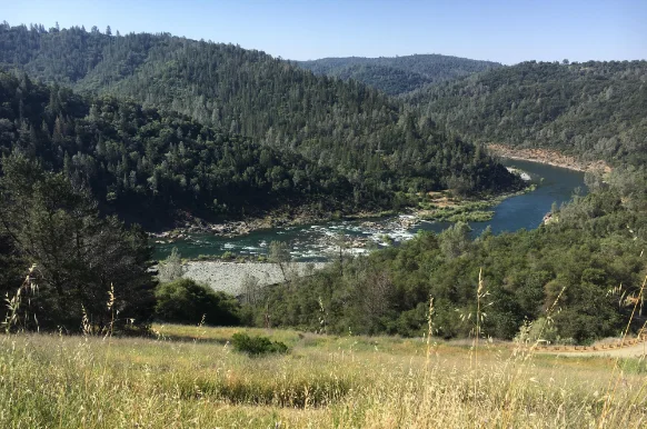
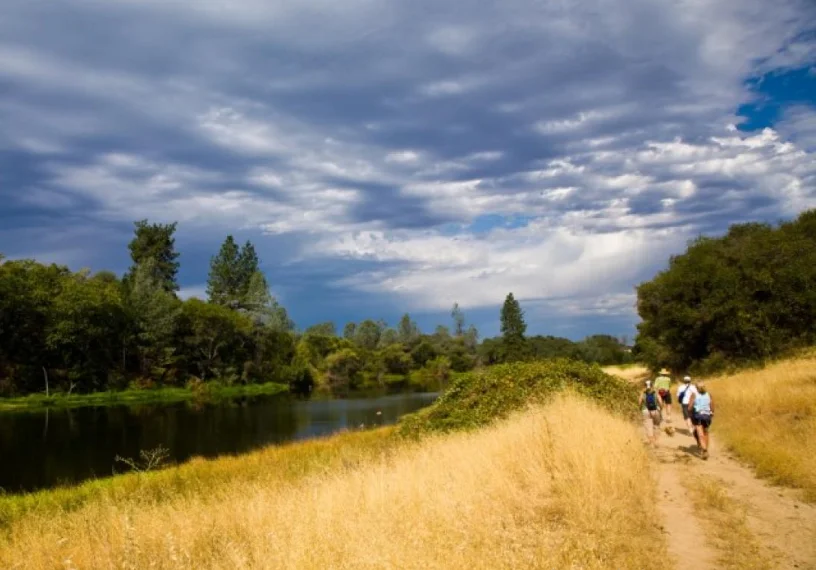
Auburn State Recreation Area spans 40 miles (64 km) along California’s North and Middle Forks of the American River. In the heart of the gold country, the Auburn State Recreation Area runs more than 40 miles along the North and Middle Forks of the American River, natural environment that used to be bustling with thousands of gold miners now attracts over 900,000 tourists annually for a wide range of recreational options.
It’s common for people to spend time outdoors, engaging in pursuits including hiking, swimming, boating, fishing, camping, mountain biking, gold panning, equestrian sports, and riding off-road motorcycles. Auburn SRA authorizes around 30 private outfitters for whitewater tours. Auburn Dam property is now Auburn SRA. California State Parks manages the land under a US Bureau of Reclamation contract.
Camping At Auburn State Recreation Area
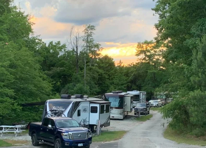
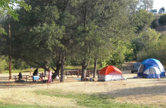
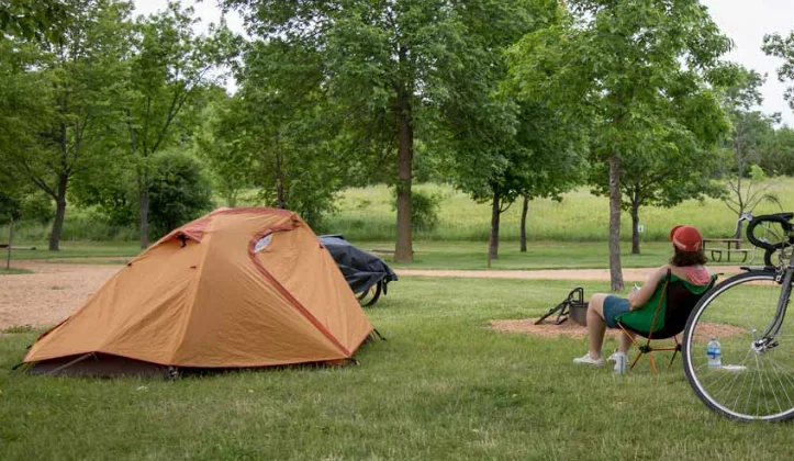
Auburn State Recreation Area features four primitive campsites. A 14-day limit on consecutive camping trips and a 30-day annual cap. Only the following locations are approved for overnight camping:
Mineral bar
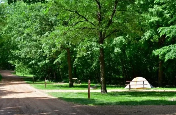
In the direction of the spot is where Colfax Iowa Hill Road crosses the North Fork American River and arrives on the eastern side. There are 18 designated camping areas with facilities, including grills, tables, and bathrooms. Not even drinking water is an option.
The campground is accessible by a thin paved road. There’s just a 14-day camping maximum. Take the Canyon Way to exit from US-80 in Colfax, then head north on Canyon Way before making a right turn onto Iowa Hil Rd. The river and sites are a three-mile drive on a paved road.
Ruck-a-chucky
On the Placer County side of the river to the north, there are five primitive camping spots. There are restrooms and garbage cans available for your use. No potable water is available. You’ll find the campground two and a half miles down a dirt/gravel road. It is highly suggested that vehicles with a high ground clearance be used.
The route can be blocked whenever there is a threat of bad weather—Exit Highway 80 at Foresthill Rd. Turn right onto Drivers Flat Road as you drive toward Foresthill and follow the 2.5-mile gravel road to the property and river.
Boat-in camping at Lake Clementine
15 backwoods campsites can be reached only by water; each has a pit toilet, a picnic table, and a fire pit. It is off Interstate 80 at the Foresthill exit to get there. Take Foresthill Road for about 3.5 miles before turning left onto Lake Clementine Road.
Drive down for two kilometers until you reach the boat launch. Camping spots can only be reached by watercraft, so don’t bother bringing your car. Unfortunately, there is no available water, and canines are not permitted. There’s just a 14-day camping maximum.
River-trail camps
Camping permits are issued for regions outside of specified campgrounds for rafters on the American River between October 16 and June 31. Due to the increased risk of wildfires, camping in areas requiring a River Permit is prohibited between July 1 and October 15. The Auburn SRA Ranger Station is located at 501 El Dorado Street and is your one-stop shop for all permit questions and information.
Fishing And Hunting At Auburn State Recreation Area
Those interested in hunting or fishing will be delighted by the options that may be found in the Auburn State Recreation Area. This park is a haven for nature lovers, stretching over 40 kilometers along the beautiful American River.
Hunting opportunities abound, and visitors can experience the area’s raw beauty while pursuing deer, turkey, and small game. Pure waters filled with fish species, including trout, bass, and salmon, are perfect for anglers to throw their hooks.
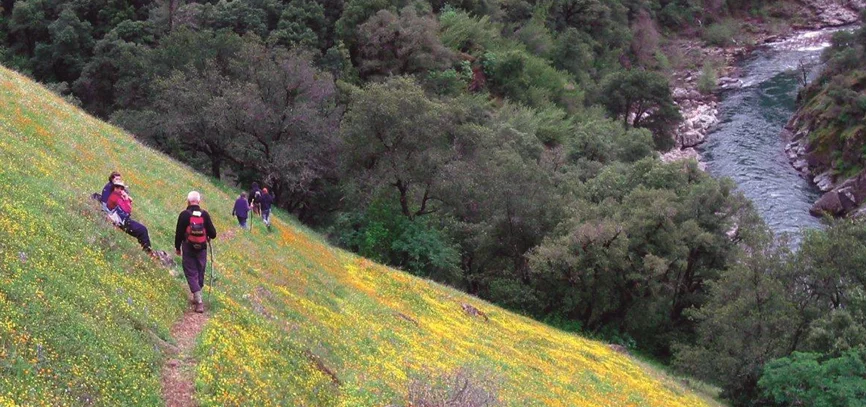
Trails At Auburn State Recreation Area
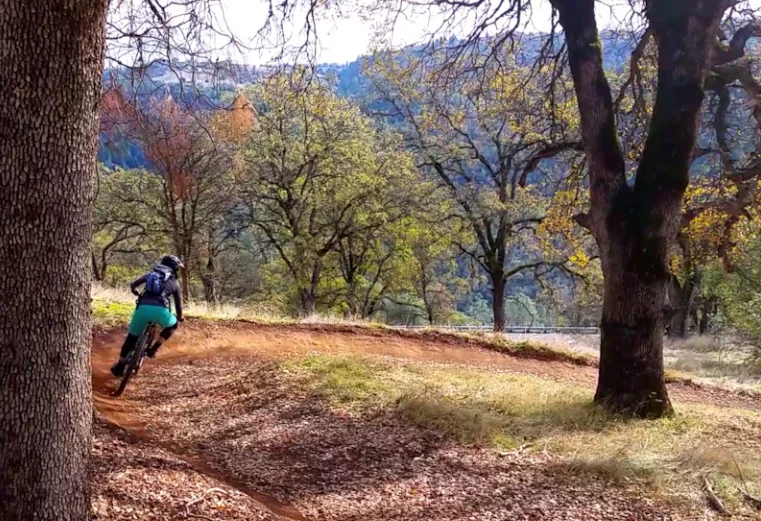
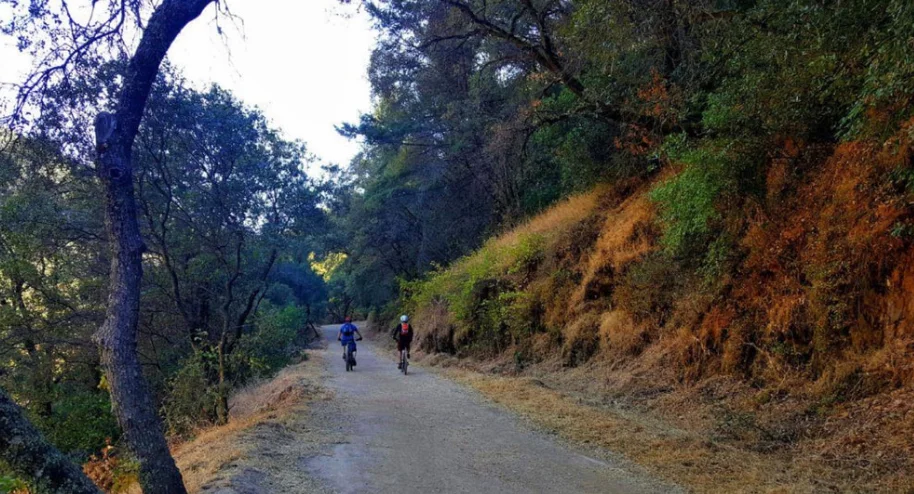
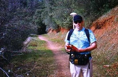
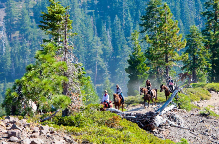
Trails for walkers and riders stretch almost a hundred kilometers along the North and Middle Forks of the American River and across the mountainous valleys. One hundred miles long, the Western States Trail connects Lake Tahoe and Auburn and includes more than 20 miles within the park, the most well-known path in the area. You can get a trail map from the park’s visitor center.
Address: 505 El Dorado Street, Auburn, CA, United States, California
Phone number: (530) 885-4527
Opens– Closed: 8 am to 4 pm
Area: 42,377 acres (171.49 km2)
Established: 1966

You must be logged in to post a comment.