Austin Creek State Recreation Area
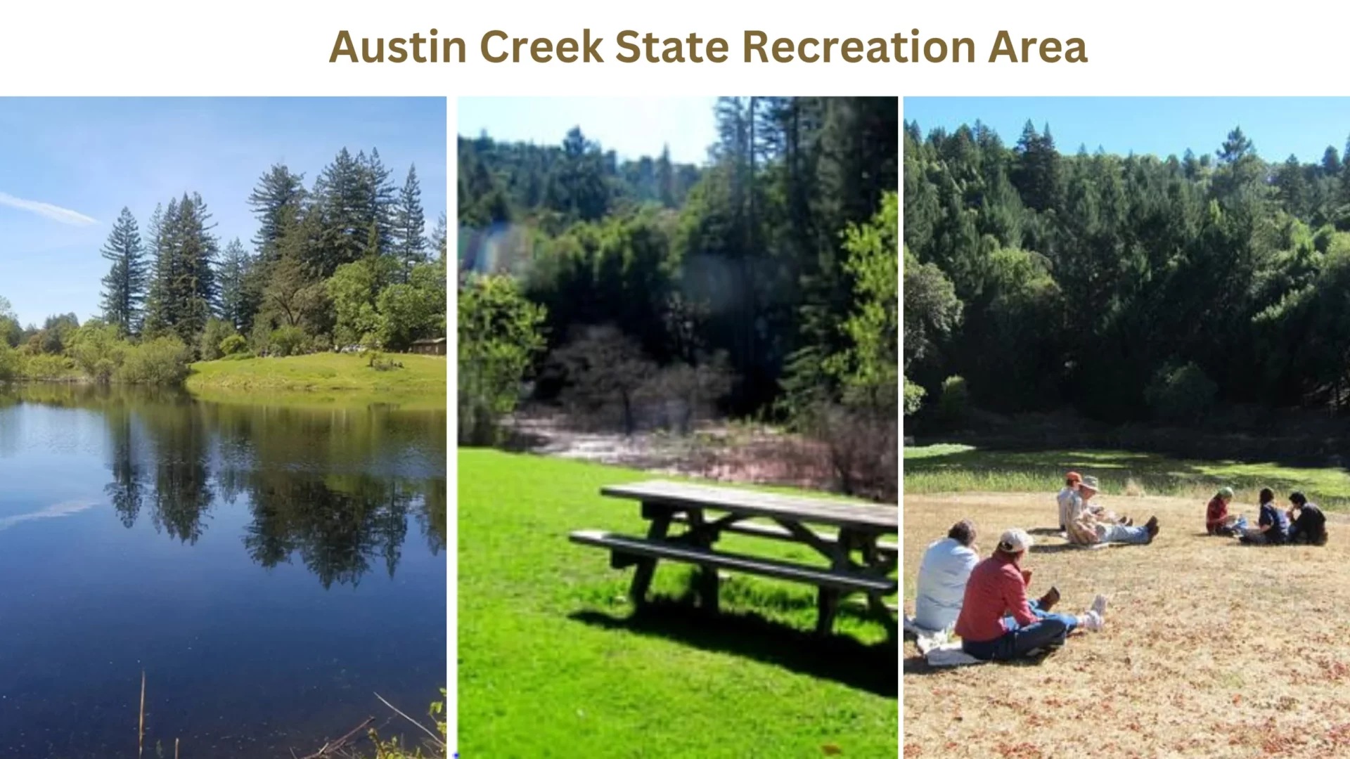
Armstrong Redwoods State Natural Reserve and Austin Creek State Recreation Area share the same entrance. Its geography contrasts sharply with the deep, ancient redwood forest below, with wide forests, undulating hills, and meadows.
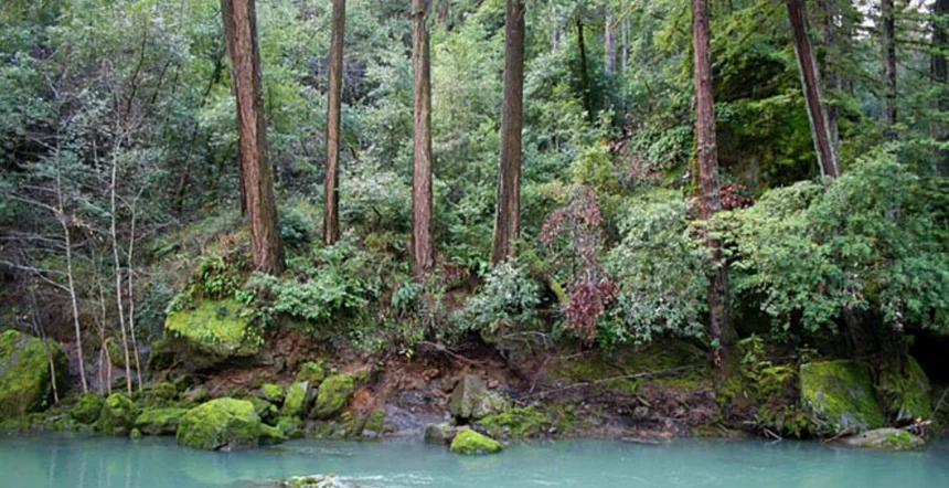
Tree-lined ravines cooled by perennial streams, grassy hillsides burnished golden by summer’s heat and turned emerald by winter’s plentiful rains can all be found here, as can oak-topped knolls that seem to float like islands on lakes of lowland fog.
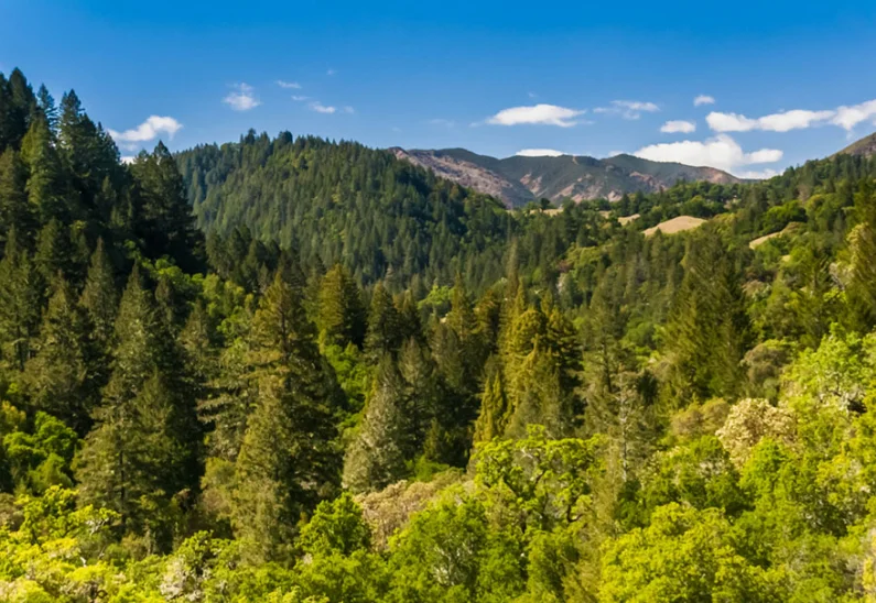
Austin Creek is a hiker and horseback rider’s dream, with twenty miles of trails, breathtaking vistas of the woods, backcountry camping, and the vehicle-accessible Bullfrog Pond Campground. There is a sensation of being removed from society’s usual sights and noises because of the park’s harsh landscape, which features heights varying from 150 to 1500 feet.
Camping At Austin Creek State Recreation Area
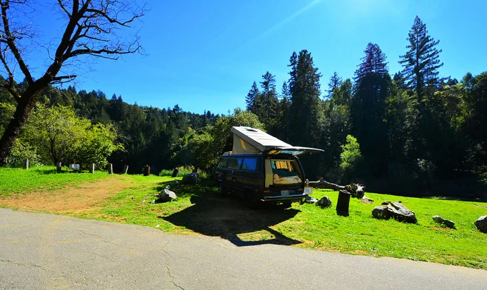
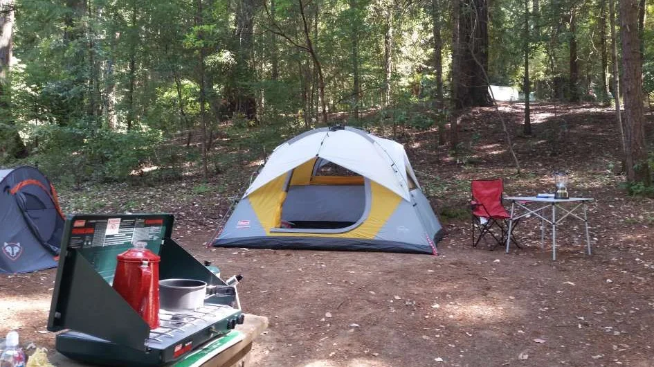
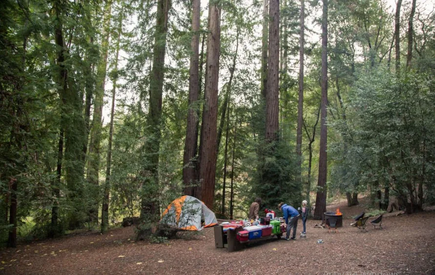
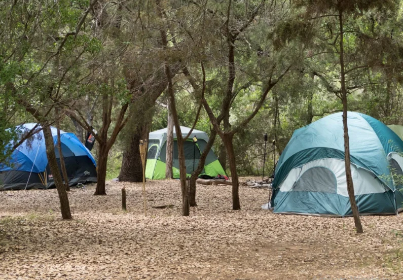
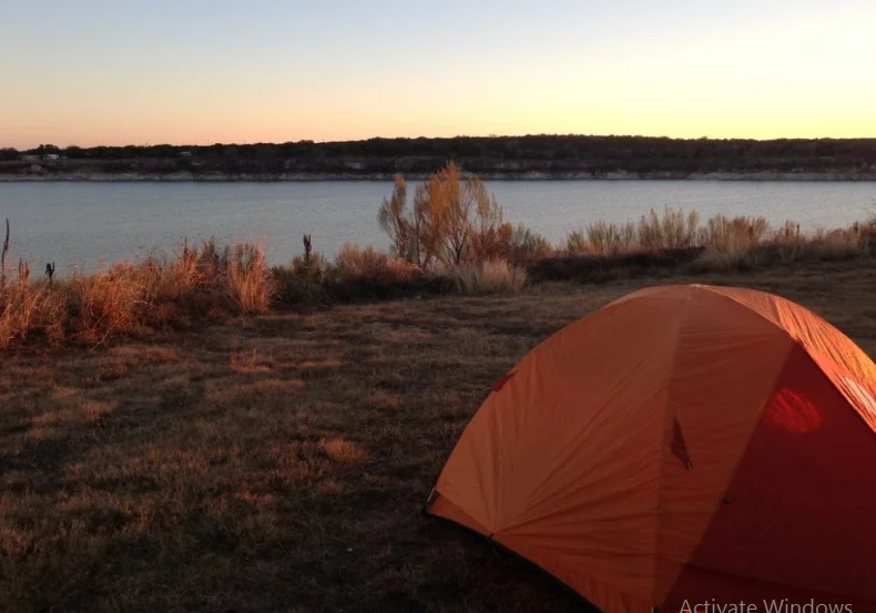
Camping at Austin Creek State Recreation Area offers 22 family campsites near Bullfrog Pond. These sites operate on a first-come, first-served basis and provide amenities such as tables, fire rings, flush toilets, and potable water.
However, there is no access to a shower. For a more primitive camping experience, Tom King and Manning Flat sites offer backcountry campsites with tables, fire rings, and nearby pit toilets. A backcountry permit is required for primitive camping, obtainable at the entrance to Armstrong Redwoods State Natural Reserve.
Trails At Austin Creek State Recreation Area
All trails are equestrian-free. Trail conditions allow equestrian use. Call the park before visiting to check trail conditions. Armstrong Redwoods State Natural Reserve horse trailers must be parked. Armstrong Redwoods State Park offers guided day and overnight trips on horseback, with a concession located half a mile west of the Armstrong Tree.
Austin Creek Trail:
An alternative use for this dirt service road is as a hiking route; it winds its way down the canyon, passing by open fields and pockets of forest as it descends from a height of 1200 feet to 300 feet.
The Gilliam Creek Trail can be reached from the road after 4.7 kilometers. Taking a journey down the Austin Creek Trail and coming back up the Gilliam Creek Trail makes for an approximately 9-mile round-trip that is both challenging and breathtaking.
Gilliam Creek Trail
This narrow and steep trail winds its way through a forest of oak trees while staying within earshot of Gilliam Creek. After almost 4 miles, it reaches the point where East Austin Creek and Gilliam Creek meet to form the Austin Creek Trail. This path is occasionally closed at lower altitudes due to heavy water in Gilliam Creek during winter.
Pool Ridge Trail
When you go along this path in Austin Creek SRA, you will experience the striking difference between the shaded redwood groves that are lower down and the open forest and higher up hills. Although the trail only descends 500′ in height, the upper half of the trail is fairly steep.
Access to California’s Armstrong Redwoods State Natural Reserve may be gained by this route, which is 4.2 miles in length in a single direction. It may be used as a loop if you link up with the East Ridge Trail.
East Ridge Trail
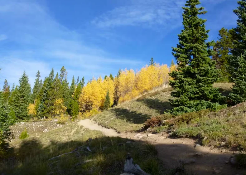
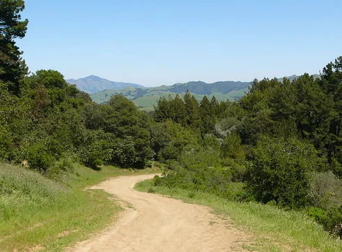
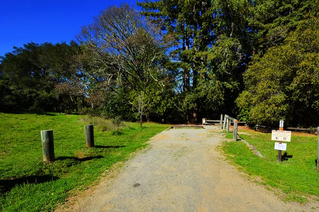
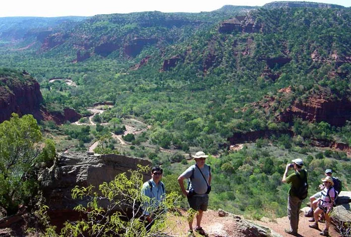
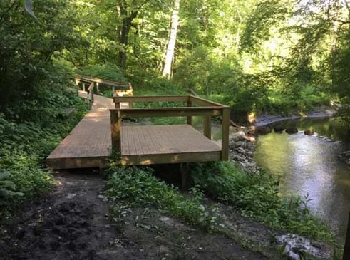
The four miles and 1500 feet in elevation gain between the park entrance and Bullfrog Pond campsite are covered by this path as it passes through the unique and different Armstrong Redwoods and Austin Creek forests.
The distance between these two points is approximately 1500 feet. This trail can also complete a loop by being hiked in only one direction and then retracing your steps on the Pool Ridge Trail.
Address: 17000 Armstrong Woods Rd, Guerneville, CA 95446, United States
Phone Number: +1 707-869-9177
Area: 5,927 acres (23.99 km2)
Established: 1964
Management: California State Parks

You must be logged in to post a comment.