Crane Mountain National Recreation Trail
Total in and out hiking length 91.9 km
Total climbing distance= 8,357 feet
Difficulty: Challenging
Total Elevation Gain: 2432 m
Total Elevation Loss: 2431 m
Avg Elevation per KM: 26 m
Max Elevation: 2573 m

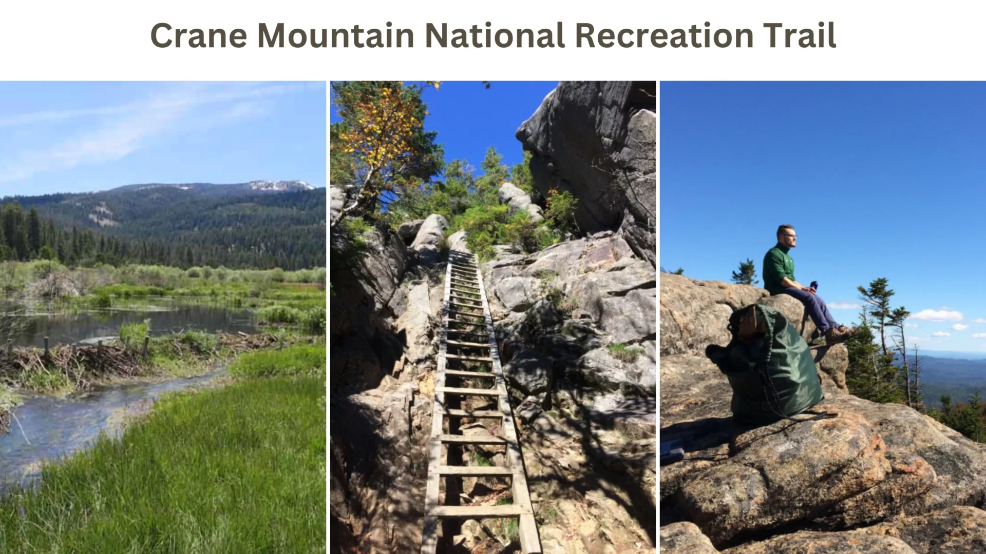
Crane Mountain National Recreation Trail is a 36-mile (91.9 km) trail east of Lakeview in Oregon. It offers breathtaking views, unique ecosystems, and challenging terrain for hikers, bikers, and pack animals. The length of the Crane Mountain National Recreation Trail, found east of Lakeview in Oregon, is 36 miles.
At the South Fork Crooked Creek Trailhead, it joins up with the Fremont National Recreation Trail. The Crane Mountain Trail travels through the treacherous terrain of Crane Mountain, including its peak and slopes, home to Lake County’s highest elevation of 8,357 feet above sea level.
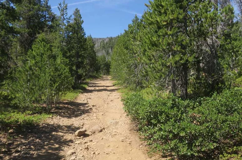


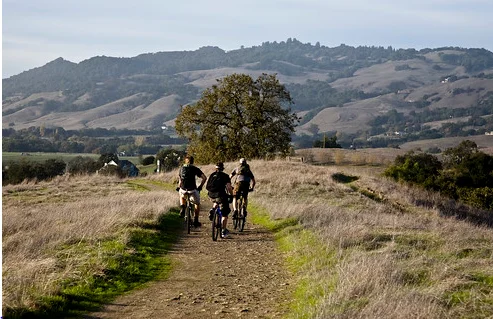
Along the way, hikers are treated to breathtaking views and unique ecosystems. July is a month that features an abundance of seasonal wildflowers. The total length of the track is open to hikers, mountain bikers, and pack animals. Motorized vehicles are permitted on the path’s eight-mile portion that extends from the crest of Crane Mountain to the state line between Oregon and California.
It ranges from difficult to extremely challenging, including substantial gradients and challenging terrain. It is important to remember that the earliest time the trail’s highest altitudes are usually clear of snow is the month of July.



Location: Highway 395 NHC 64 Box 60 Lakeview, California 97630
Phone Number: 541-947-3334


You must be logged in to post a comment.