Eldorado National Forest
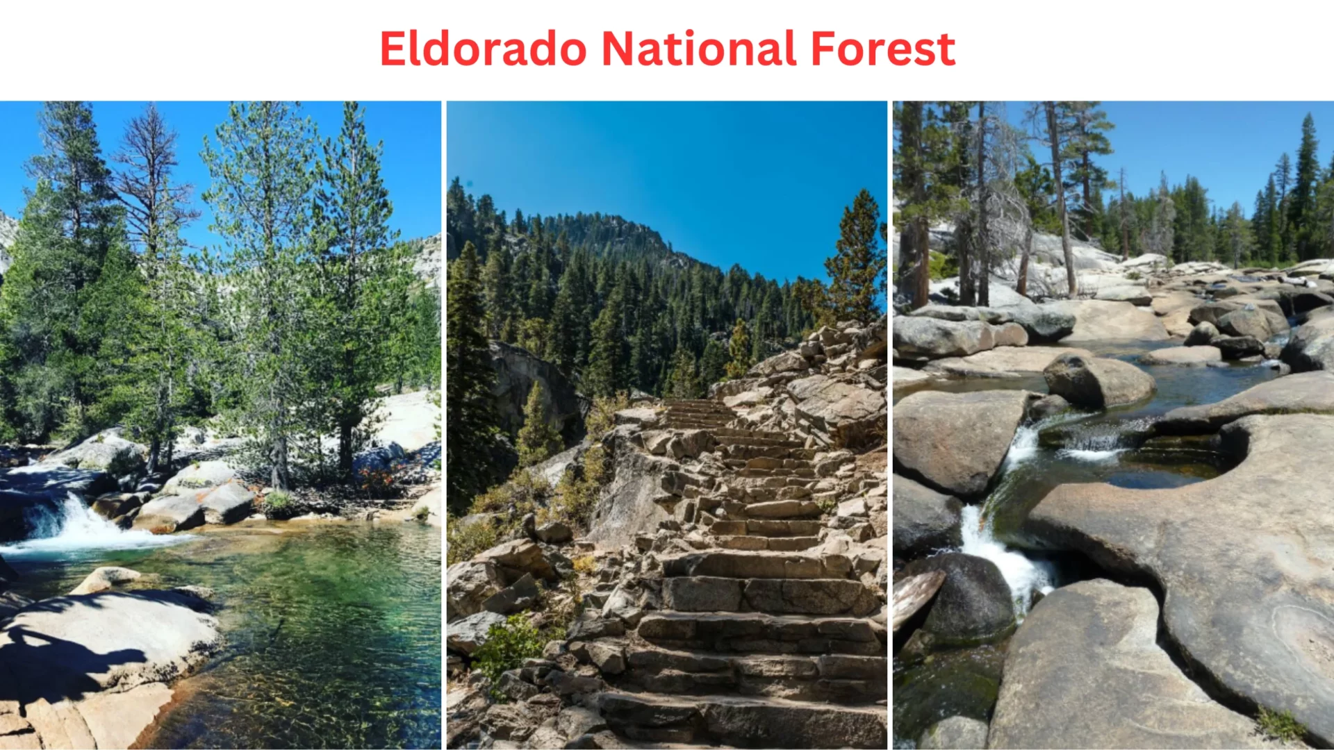
Eldorado National Forest rose to prominence after discovering gold along the American River, sparked the California Gold Rush and the ensuing explorations into the woods and throughout the state headed by the famous explorer Kit Carson Sierra Nevada Mountains.
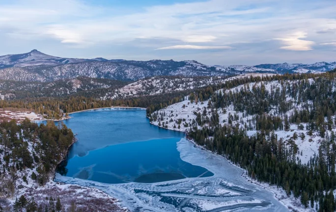
With nearly a million acres of national forest land, El Dorado County is at the center of California’s most varied recreational area. Chaparral, conifer, fir, and subalpine trees comprise the forest’s flora, and altitudes range from 1,620 feet to 10,380 feet.
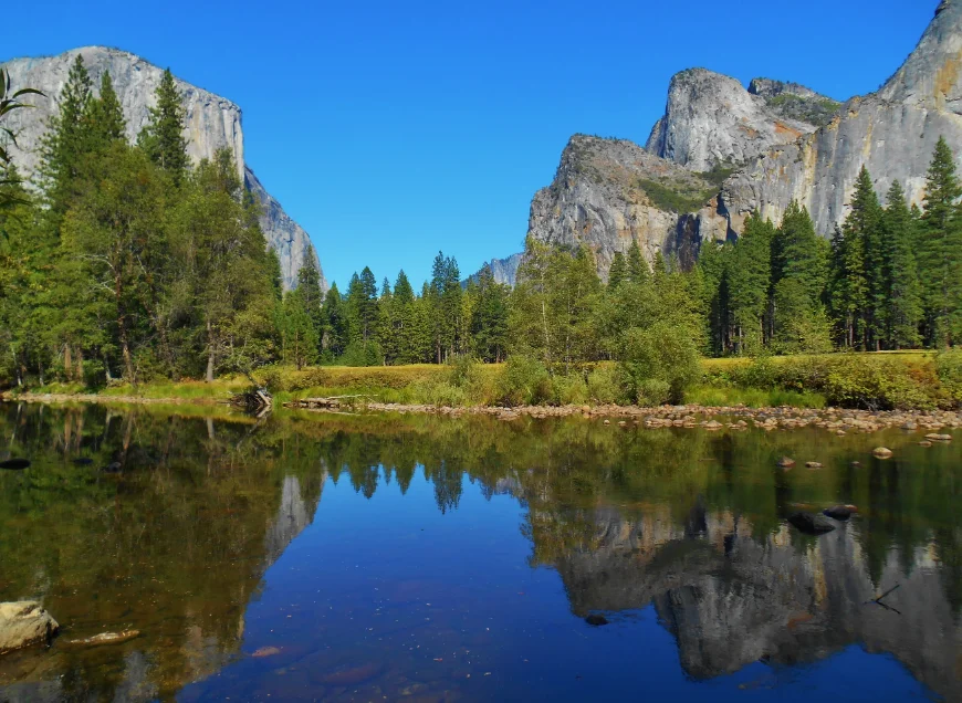
Those who wish to reconnect with nature can now take advantage of the forest’s many hiking trails, fishing spots, and camping areas. Eldorado National Forest is a haven for those searching for quiet and a break from the hectic pace of modern life.
Trails At Eldorado National Forest
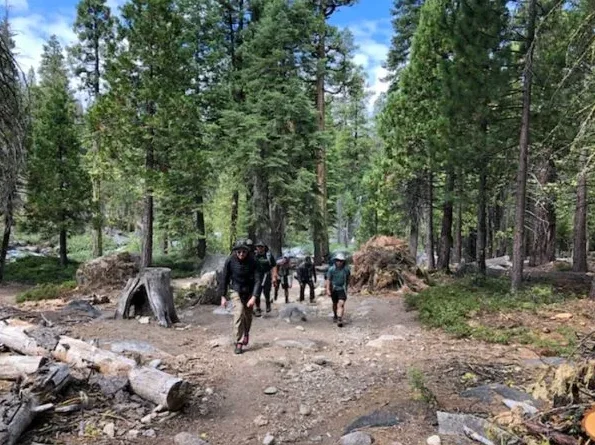
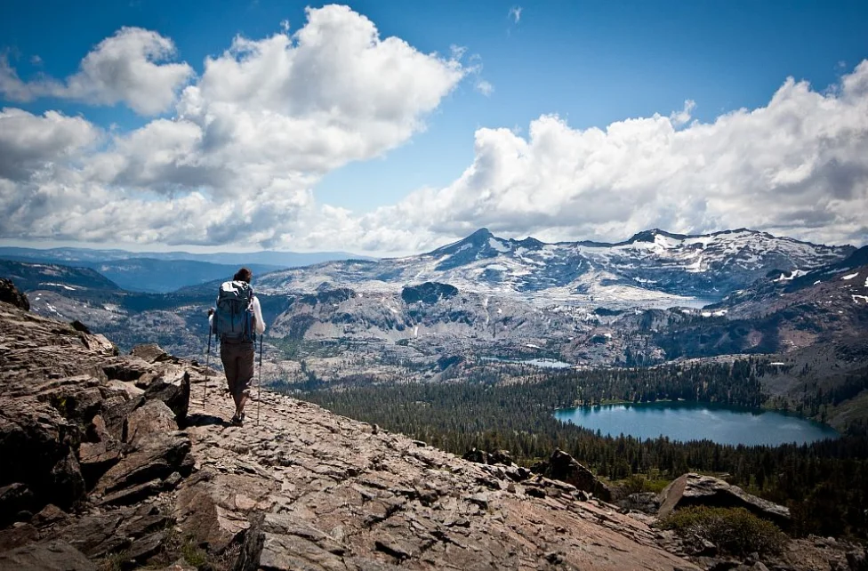
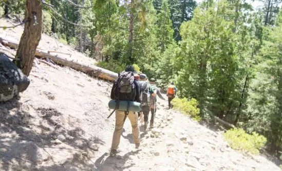
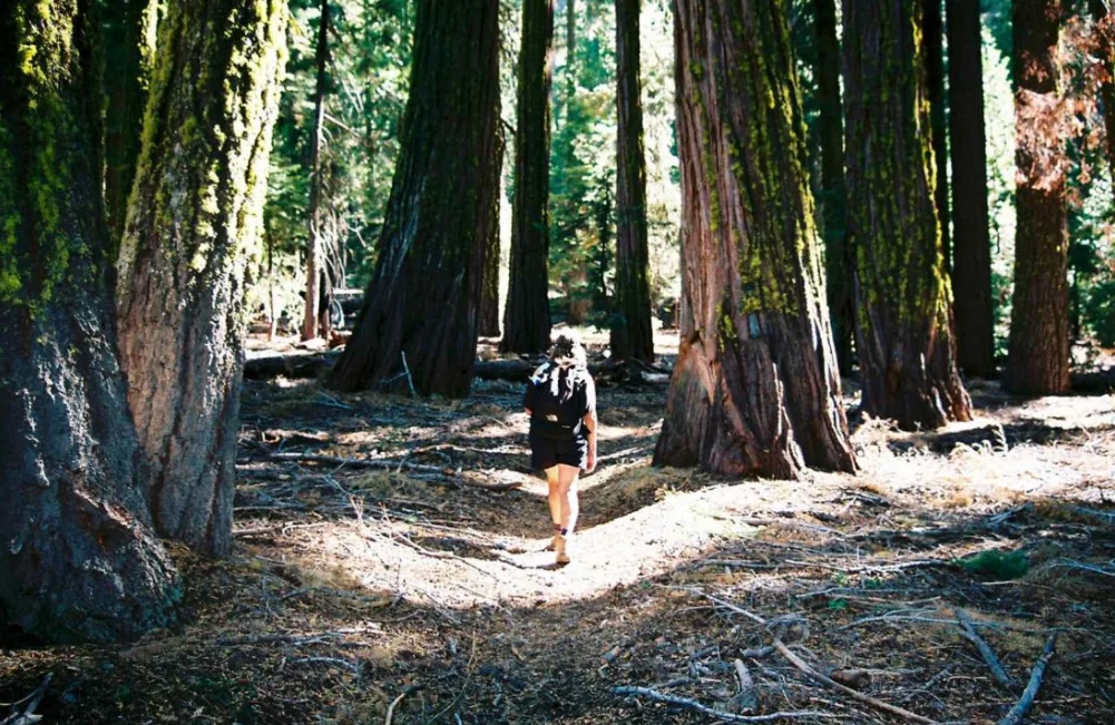
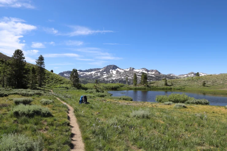
Eldorado National Forest has 42 great trails, so bring hiking boots with your RV. The Union Valley Bike Trail is four miles long and can be accessed from Sunset Campground.
This trail is suitable for biking, roller skating, and strolling. It is possible to trek the 1.5 miles of the Ice House Trail and cyclists from Ice House Campground. The Gerle Creek and Harvest Creek Trails, which are a mile long, begin in the Pollock Pines neighborhood of Gerle Creek Campground.
Ice House Campground At Eldorado National Forest
On the shores of Ice House Reservoir, amid a forest of various conifers, is where you’ll find the Ice House Campground. The campground is about 12 miles from Riverton, California, and features opportunities for fishing, hiking, and riding.
The ponderosa pine trees provide a visually appealing backdrop. The tallest known pine tree in the country, its fragrant needles float through the air like vanilla. The tallest Ponderosa ever recorded stood at a staggering 268.35 feet. A dump station, flush toilets, drinking water faucets, and a picnic area exist.
Gerle Creek Campground At Eldorado National Forest
The Gerle Creek Campground is located in a beautiful hardwood forest on the banks of the Gerle Creek Fork. You can go fishing or splash around in the water all day long. Biking and hiking are also everyday activities.
Both single and double-family sites are available, and many are handicapped-friendly. There is a fire ring and picnic table at each spot. Firewood can be purchased, and there are vault toilets accessible. The Gerle Creek Campground is located upstream from the Gerle Creek Divide Reservoir at around 5,300 feet.
Biking AT Eldorado National Forest
Eldorado National Forest has more than 30 miles of bike routes just waiting to be explored. For a good reason, the 6.5-mile Fleming Meadow Loop is the most traveled route in the forest. The Jenkinson Lake Trail is the more relaxed at 8.2 miles, while the Pony Express Trail and Sayles Loop are more strenuous at 23.2 and 11.3 miles, respectively. Two miles is the correct length for a ride on the Ice House Bike Trail.
Rock Climbing At Eldorado National Forest
Some of the finest western rock-climbing areas are about half a mile from Strawberry Lodge, east of Placerville. While numerous climbing areas are in and near Eldorado National Forest, the Lovers Leap Campground is the most used.
There is multi-pitch conventional climbing on the 600-foot granite rock wall on the east side of Lover’s Leap. Bring the whole family; everyone from novices to seasoned pros will find something they like.
Sledging At Eldorado National Forest
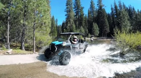
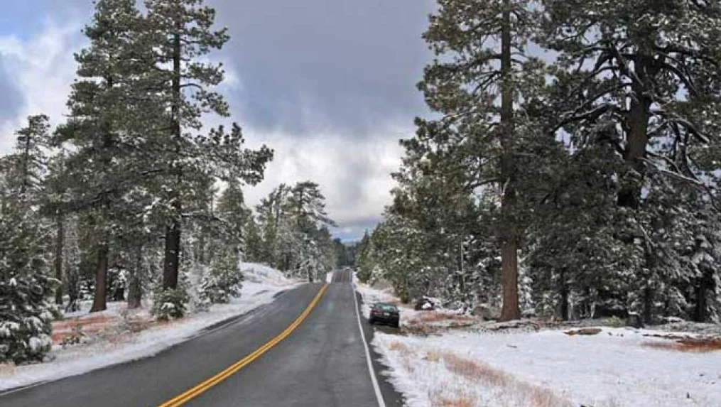
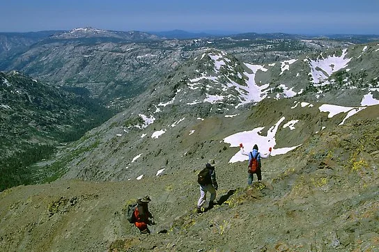
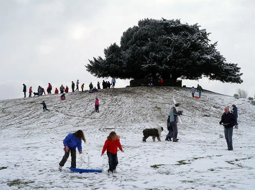
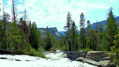
Pack up the camper with the sledges, and tubes and travel to Eldorado National Forest; sledging is fun for all ages and a great way to relive your childhood. At an altitude of 7,350 feet, Mountain Lake Tahoe spans across the pinnacle of Echo Summit and has forty acres of snow. You can try out any of the 15 various runs that are available. There are 36 runs in the Sierra at Tahoe: 18 easy, 18 moderate, and 10 advanced.
Address: Sierra Nevada, CA 95667, United States
Phone Number: (209)258-8606
Opens–Closed: 8:00 am to 4:00 pm
Area: 596,724 acres (2,414.86 km2)
Established: July 28, 1910

You must be logged in to post a comment.