Sisson-Callahan National Recreation Trail
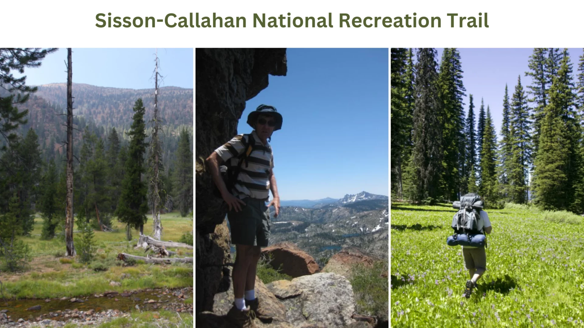
Length of trail: 10 miles.
Difficulty Level: Intermediate
Distance and Elevation: Total descent is 5000 ft in 10 miles.
Route Type: Out & Back
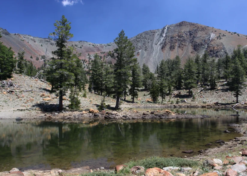
Sisson-Callahan National Recreation Trail is the only one in the Mount Shasta region that is longer than the Sisson-Callahan Trail, the longest trail in the Mount Shasta area. From the trailhead, located close to where the North Fork of the Sacramento River meets the river’s main fork, it is a little over 9 miles to the point where the Pacific Crest Trail meets the SCT.
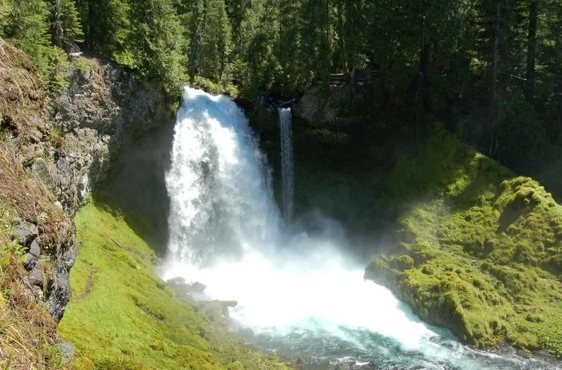
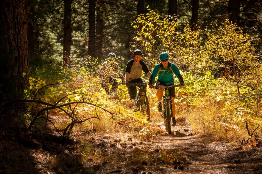
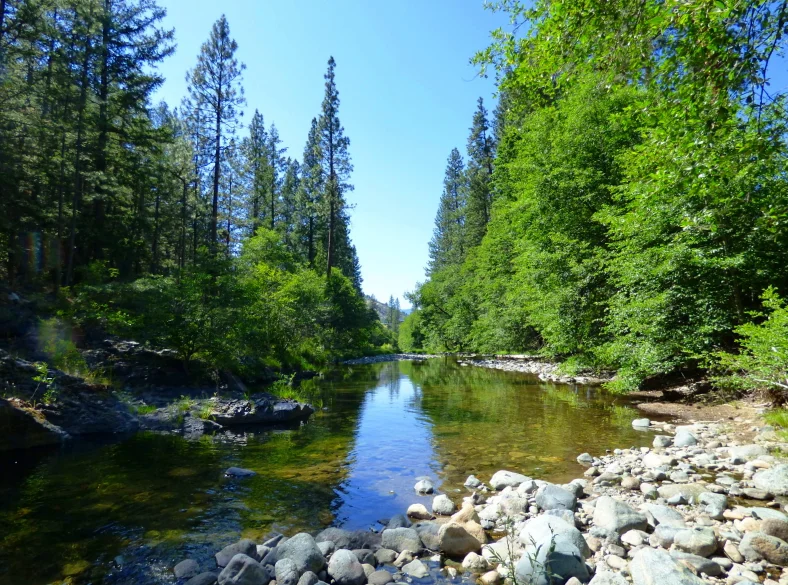
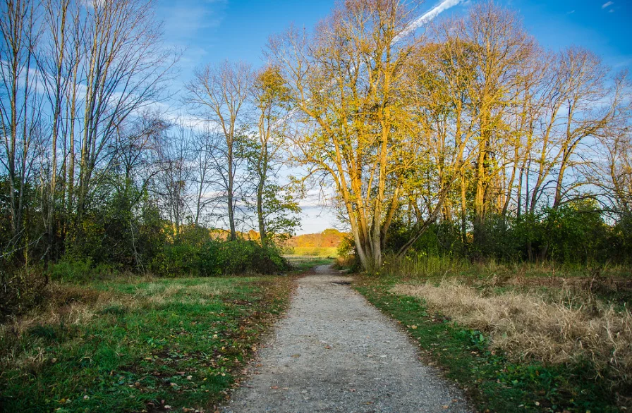
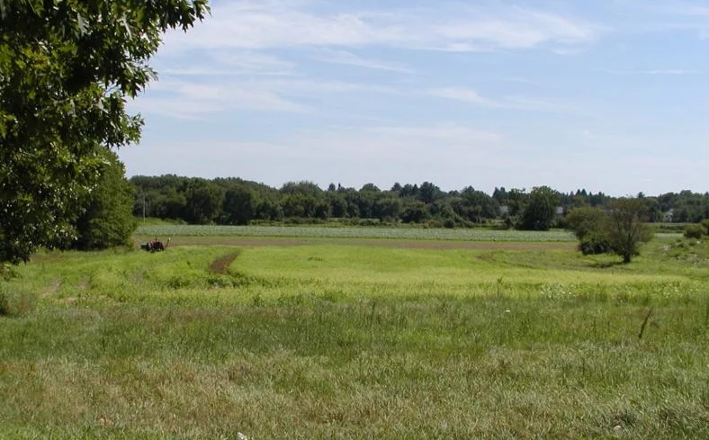
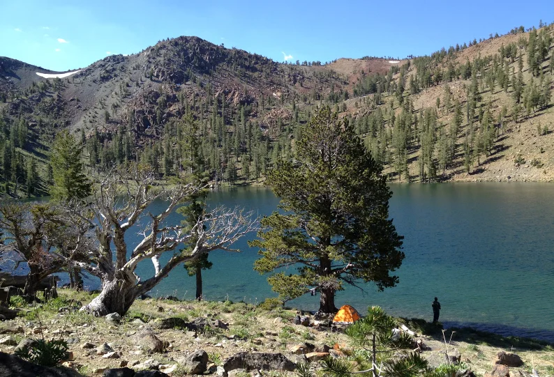
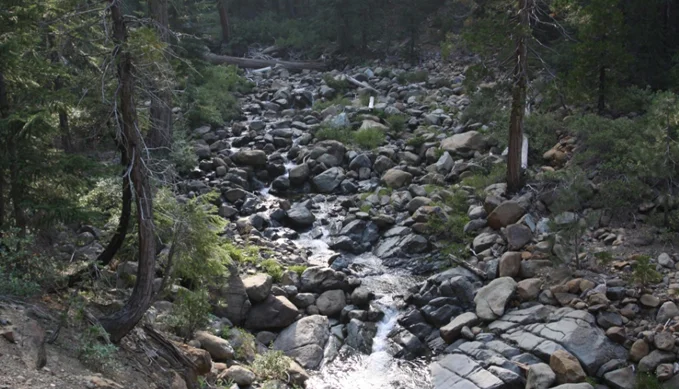
The path pathway takes as it travels a stunning and untamed river, travels through small valleys, traverses a big meadow complex, climbs out of a rocky and seldom-seen canyon, and then falls into the Deadfall Lakes Basin, which is considered to be one of the most attractive locations in the area.
Directions Of Sisson-Callahan National Recreation Trail
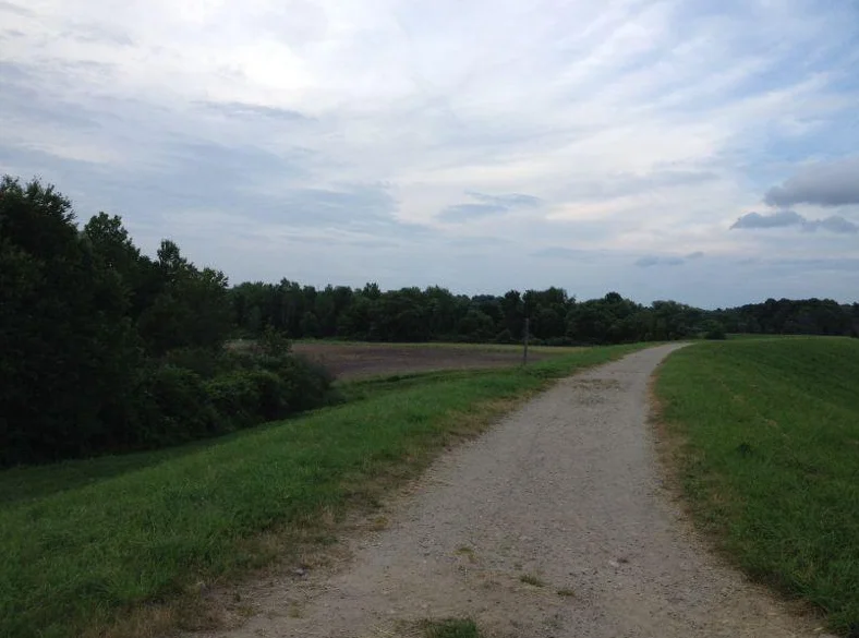
Access to the upper portion of the Sisson Callahan Trail is available from the Deadfall Meadows Trailhead, which is situated on Forest Road 17. Take Interstate 5 north from Mount Shasta City, through Weed, and exit at the Edgewood/Stewart Springs Road exit. Take the first left turn, drive under the freeway, and then take the first right onto Old Stage/Old 99.
After four miles, take a left onto Stewart Springs Road; after another mile and a half, Forest Road 17 will branch off to the right. Continue along the road until you reach the crest, and then take the road that leads down the opposite side to reach the Deadfall Meadows Trailhead.
Location: N Shore Rd, Mt Shasta, CA 96067, United States
Phone number: 530-938-4554

You must be logged in to post a comment.