Tahoe National Forest
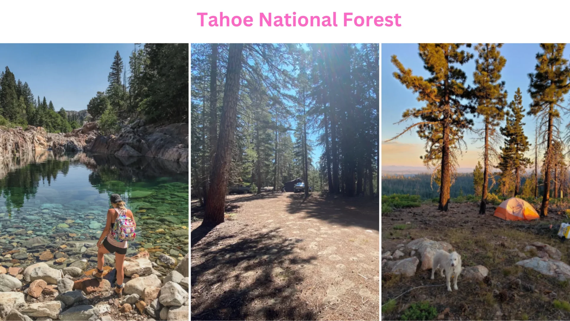
Tahoe National Forest is located northwest of Lake Tahoe, California. Mount Lassen and Mount Shasta are seen from Sierra Buttes, an 8,587-foot mountain near Sierra City. Sierra, Placer, Nevada, Yuba, Plumas, and El Dorado counties are included. Tahoe National Forest is located northwest of Lake Tahoe, California. At 8,587 feet, Sierra Buttes in Sierra City offers Mount Lassen and Mount Shasta vistas. Sierra, Placer, Nevada, Yuba, Plumas, and El Dorado counties are included. 871,495 acres comprise the Forest. Nevada City, California, is its headquarters.
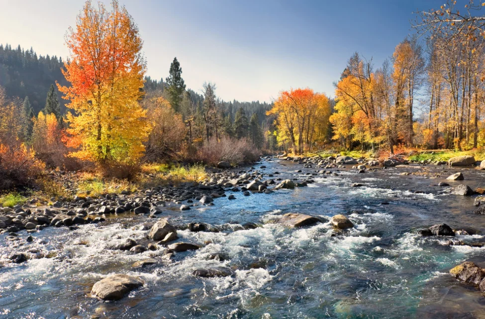
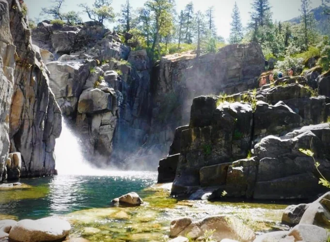
Camptonville, Foresthill, Sierraville, and Truckee have ranger district offices. Tahoe National Forest features hundreds of lakes and reservoirs, including Boca Reservoir, river gorges cutting through granite bedrock, and miles of trails, including a Pacific Crest Trail section, for tourists to explore. Tahoe City’s Granite Chief Wilderness has various routes that lead into it.
Transportation At Tahoe National Forest
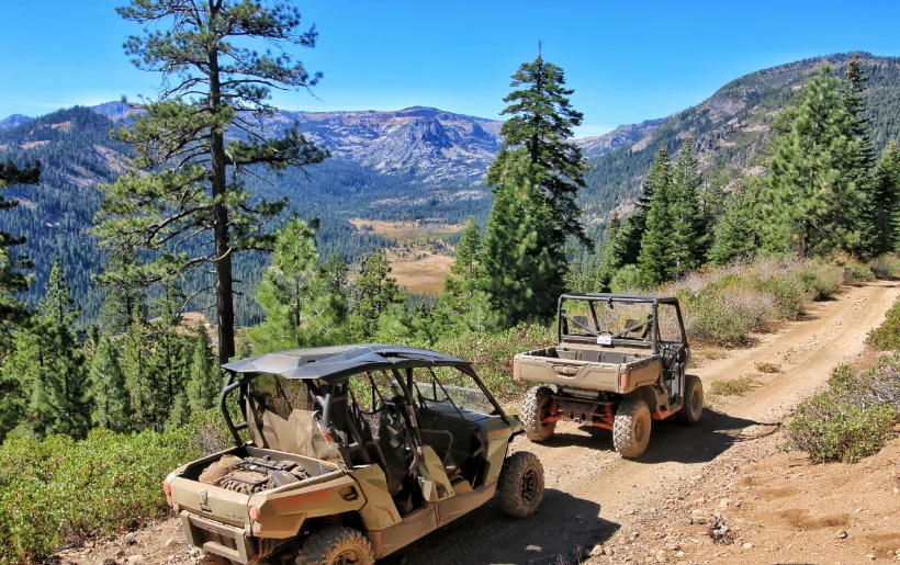
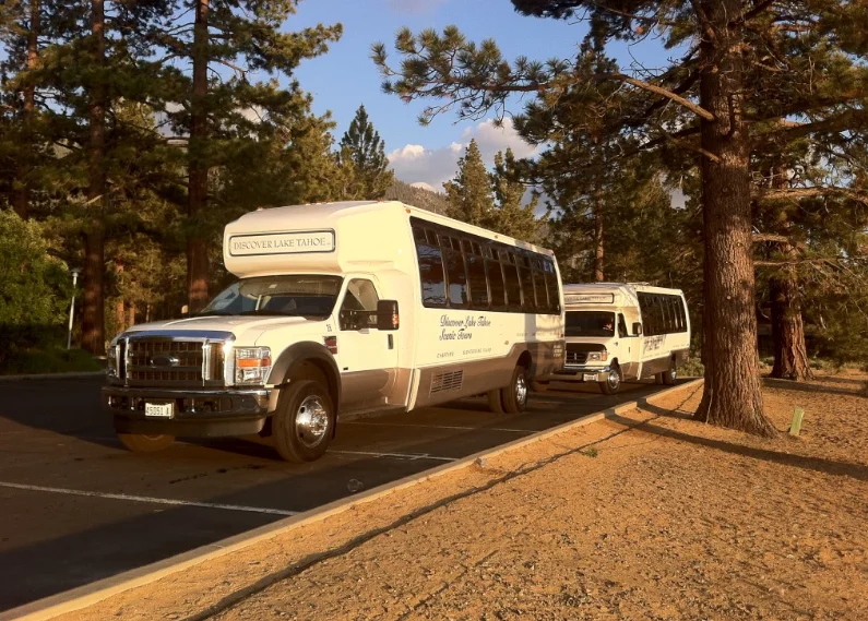
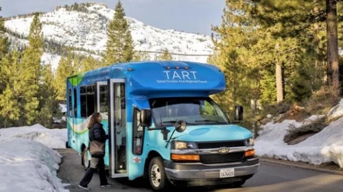
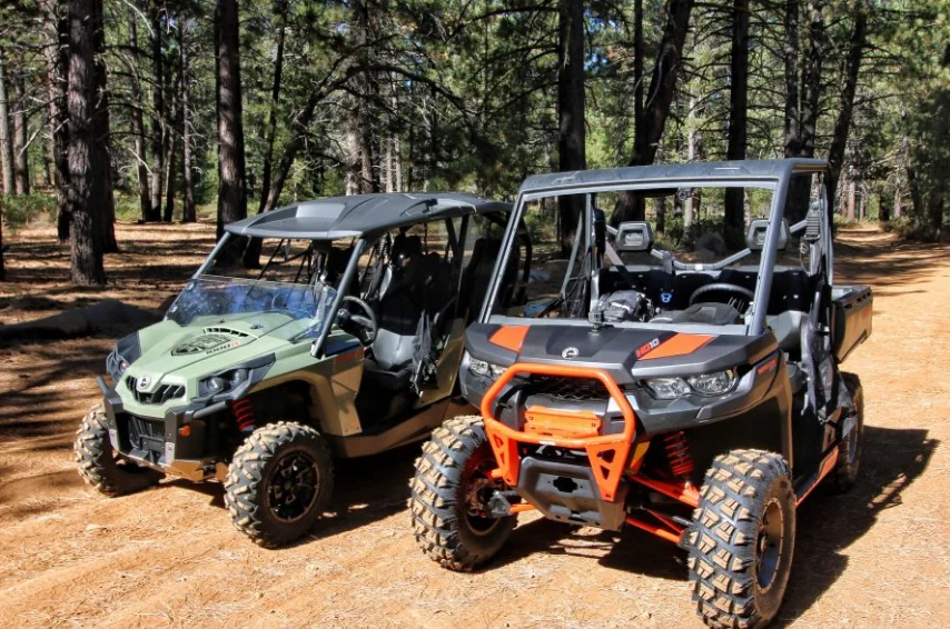
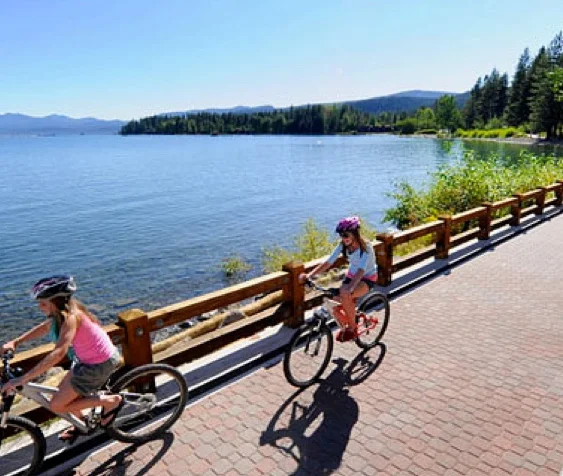
Transportation routes and industrialization heavily influence the cultural background of the Tahoe National Forest. Some locals date the beginning of the region’s recorded history to when pioneer emigrant wagons through Donner Pass en route to California. Nonetheless, the area currently known as the Tahoe National Forest has been inhabited and used by humans for thousands of years. These areas were used by the Washoe and Nisenan peoples and their ancestors for agriculture, water sources, and leisure.
Emigrants
In the 1840s, covered wagons carrying emigrants from the United States crossed the mountains to Mexican California for a better life. The Donner Party spent the winter of 1846–47 in camps near present-day Truckee, and their namesake pass, Donner Pass, was named for them.
The Rush for Gold
The Gold Rush of 1849 brought a deluge of people to California, and many explored the Tahoe region in search of riches. Numerous relics from the Gold Rush era can be found strewn about the Forest, including the original settlements of Foresthill, Nevada City, Downieville, and Sierra City, to name just a few. State and federal law equally ensure the safety of all archaeological and historical sites.
Continental railway
By 1868, the Central Pacific Railroad had completed its crossing of the Sierra Nevada at Donner Pass; on May 10, 1869, its lines finally met those of the Union Pacific at Promontory Point, Utah, completing the first transcontinental railroad. Amazing engineering still goes into the trans-Sierra route, which includes tunnels, snow shelters, and bridges over deep valleys.
The quick expansion of the Golden State may be directly attributed to the state’s newly established rail connection with the rest of the United States, which facilitated the transport of gold and agricultural products east and the arrival of manufactured goods and additional settlers west. To a large extent, Interstate 80 follows the same path people have used for millennia, running nearly parallel to the railroad.
Driving on the Lincoln Way
The Lincoln Highway was the first to stretch from New York City to San Francisco, following the general path of present-day Interstate 80 across the Sierra Nevada Mountains. From its inception in 1913 until U.S. 40’s construction in the region in the 1930s, the Lincoln Highway here received regular maintenance. The current Interstate 80 was built to replace this road in the 1960s. In the summer, you can still take a picturesque drive along a section of ancient Highway 40 or the Lincoln Highway between Big Bend and Donner Lake.
Productive real estate
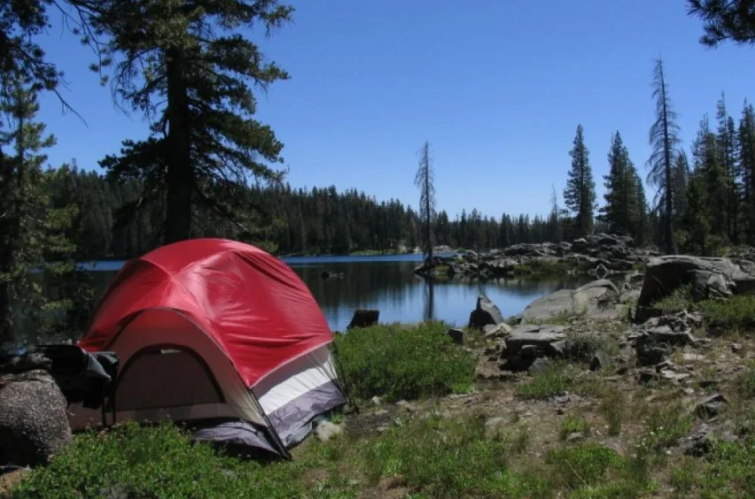
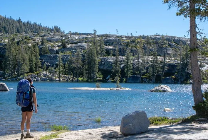
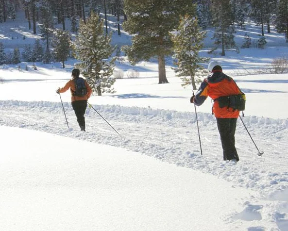
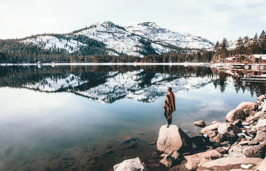
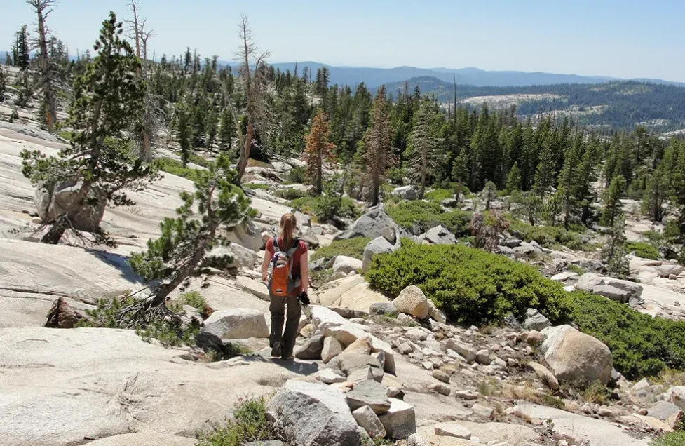
Outdoor recreation and ecotourism have become the major economic influences across the Forest, and people from all over the world come here to go camping, hiking, fishing, skiing, and sightseeing. This industry began with the first wave of settlers and is an important part of the local economy.
Area: 871,495 acres (3,526.82 km2)
Management: U.S. Department of Agriculture Forest Service
Phone number: 530-265-4531
Established: 1905
Nearest city: Truckee, California

You must be logged in to post a comment.